
この記事の翻訳は確認中です。以下に英語原文を掲載しています。 English →
Freshwater current · 2026-07-18 · 11 min read
A shallow flat is not one speed
A method for separating a visually uniform shallow flat into lanes, friction zones and testable presentation paths.
ROCK CURRENT Research Notes
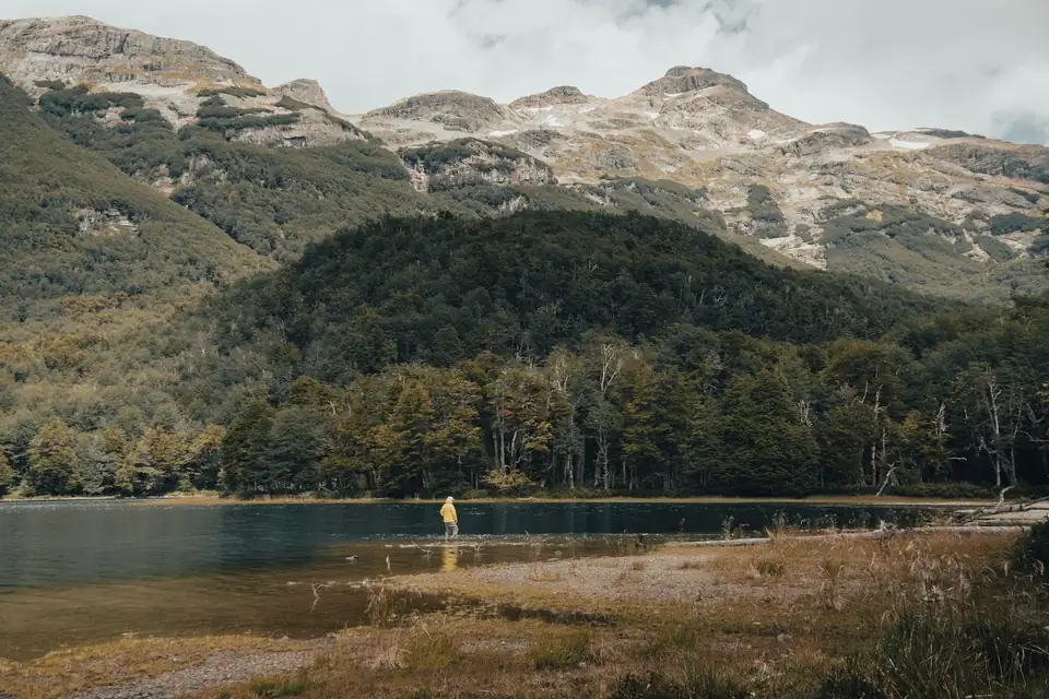 Context photograph · source record retained
Uniform colour can hide moving lanes
From the bank, a shallow flat often looks like one sheet of water. Similar colour, repeated glare and a low, even surface can persuade the eye that the whole area is moving at one speed. It is not. Water is continually negotiating bottom height, stone size, submerged plants, bank shape and the amount of flow available to each part of the channel. Differences may be small, but a small difference sustained over several metres creates a distinct route for a lure and a different cost for a fish holding position.
Begin by refusing the flat as a single object. Watch several tracers rather than one: a bubble, a leaf fragment, a line of reflected light and any suspended debris visible below the surface. Compare where they accelerate, hesitate or separate. A narrow tongue may travel faster across a slightly deeper groove while water beside it loses speed against gravel or grass. The task is not to name a perfect spot. It is to draw several provisional lanes that the first controlled passes can test.
Friction writes a second map
Depth is only one part of the flat. The riverbed applies friction, and the effect is not evenly distributed. Larger cobble can create pockets of slower water immediately downstream. Fine gravel may support a smoother, more continuous lane. Stems bend, collect debris and break the flow into small pulses. Near the bank, rough edges and a shallower margin often slow the water again. Surface texture offers clues, but the quietest-looking patch is not automatically the slowest at every depth.
Use the lure as a probe without pretending it is an instrument. A light contact with bottom, a change in vibration, a sudden bow in line or a lure rising earlier than expected can reveal that the path has crossed another speed or depth. Repeat the same angle before drawing a conclusion. One tick may be a stone; a contact point that repeats at the same distance is stronger evidence. Record the observation as relative—faster than the near margin, firmer contact than the previous lane—not as an invented velocity or exact depth.
Angle determines what the pass can reveal
A cast straight across a shallow flat samples several lanes quickly. It is useful for detecting changes, but line pressure can accelerate the lure and lift it away from the lower part of the water. A more upstream angle can add sinking time and reduce the first swing, although slack may hide contact. A presentation closer to the direction of flow stays within one lane longer, but compares fewer lanes. These are different questions, not competing doctrines.
Choose the first question before choosing the first angle. If you want to locate boundaries, cross them. If you want to understand one narrow groove, follow it. Keep lure, approximate speed and rod height stable for a short series. Then change one variable. This discipline is especially useful in shallow water because the lure can move from useful depth to surface wake with a small change in line pressure. The visible wake is information about the path, not proof that the lure itself is wrong.
Access is part of the hydrology
A shallow appearance is not permission to wade. Dark grooves can be deeper than they look, rounded stone can move, algae can remove traction and a modest increase in discharge can make a familiar route unsafe. Entering also changes the water being observed: footsteps release silt, pressure waves cross soft margins and your body diverts flow. If a bank position can answer the question, it usually offers cleaner evidence and less disturbance.
Check official water information where it exists, then compare it with the actual edge. Mark a safe return before moving forward and treat rising, coloured or rapidly cooling water as a reason to reassess. Avoid spawning areas, protected margins and unnecessary trampling. A good reading method does not merely extract information from a flat; it preserves the conditions that made the flat readable. Turning back is a valid result when access is the variable that changed.
Leave with a lane map, not a legend
At the end of a short session, redraw the flat using only observations that repeated: the faster tongue that carried bubbles, the rough patch that produced contact, the soft margin where the line relaxed and the angle that held depth longest. Add time, water level source, wind and visibility. Do not convert one follow or strike into a permanent rule. A response belongs beside the conditions and the exact route that produced it.
On the next visit, begin as though the map is a hypothesis. Flow, vegetation and deposited gravel may have altered the lanes. Test the largest boundary first and allow the new water to disagree. The value of the note is not that it predicts every shallow flat. It is that it preserves an observation sequence: separate the sheet into lanes, compare friction, choose an angle, protect access and revise the map with evidence.
A compact record can keep that sequence honest. Sketch the bank and flow arrow, number the passes, and write only the change made between them. Add one sentence about what could not be seen or controlled. That final line matters because shallow water invites false confidence: visibility feels like completeness, even when glare hides depth, vegetation hides bottom and line bow hides lure speed. A note that preserves uncertainty is more reusable than a confident story. It lets another session begin with a clear test instead of inheriting an unexplained conclusion, and it keeps equipment choices attached to the path they actually produced.