
この記事の翻訳は確認中です。以下に英語原文を掲載しています。 English →
Saltwater shore · 2026-07-17 · 9 min read
Tide is moving structure
How changing water level and current redraw access, depth, line pressure and the useful shore-casting angle.
ROCK CURRENT Research Notes
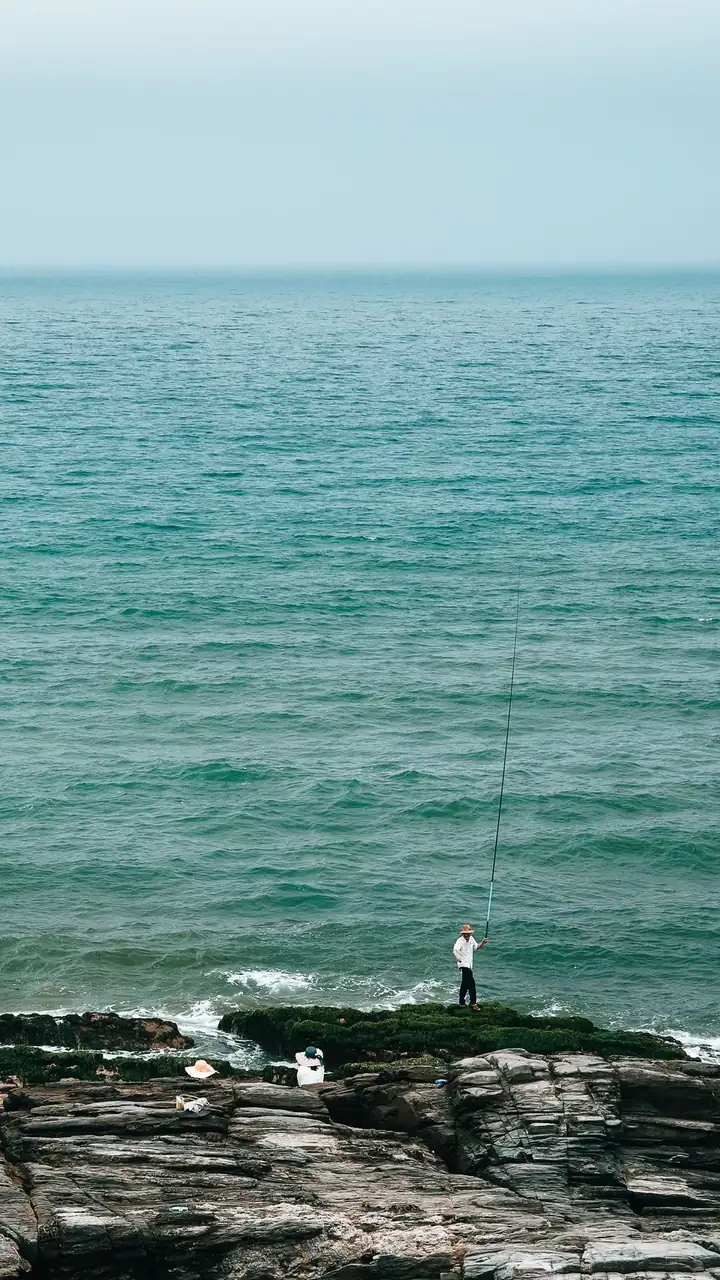 Context photograph · source record retained
The shoreline is not one place
A rock edge, harbour mouth or sandbar can look fixed on a map while the useful water changes by the hour. Rising or falling water alters depth, exposes or covers structure, changes the route available to fish and changes the route available to the angler. Tide is therefore not only a time printed in a table; it is part of the structure being fished.
Tide and current are related but not interchangeable. Local coast shape, river discharge, wind and bathymetry can shift the timing and direction of water movement. Use official local predictions as planning information, then compare them with the water in front of you instead of assuming a universal delay or rule.
Read access before opportunity
Before considering a cast, identify the exit route, the highest safe standing area and the surfaces that may be cut off or washed by changing water. Watch several wave sets. A quiet interval is not proof that the next set will be similar. On exposed rock, extra distance is never worth losing a dry, stable route home.
Weather can override a favourable tide. Wind, swell, visibility, lightning and rapidly changing conditions deserve independent checks from official local services. If the observed water disagrees with the plan, the observation wins. Move, wait or leave; no presentation is important enough to negotiate with an unsafe shoreline.
Current sets the casting angle
Once access is secure, trace how moving water meets a point, channel edge, reef or harbour wall. A cross-current can bow line and lift a lure away from depth. Casting slightly into the flow may buy sinking time; casting with it may extend a natural traverse. Each angle changes the path even when lure and retrieve speed stay the same.
Use the first passes to learn line pressure and the moment the lure enters or leaves the useful lane. Keep one stable reference and change one variable at a time. A heavier lure is not automatically the answer: mass can improve depth and control, but it can also increase snag risk or make a shallow route unusable.
Record a tide as conditions, not folklore
A useful field note records station or source, predicted time, observed direction, wind, water clarity, access and the route actually sampled. It separates prediction from observation. “Two hours before high” is incomplete without place and conditions, and one response does not create a rule for a coast or species.
Return only when the route remains legal and safe. Over time, comparable notes may reveal patterns worth testing, but they remain local and conditional. The purpose is not to make the ocean predictable; it is to make the angler’s next decision more accountable to the water that is actually there.