
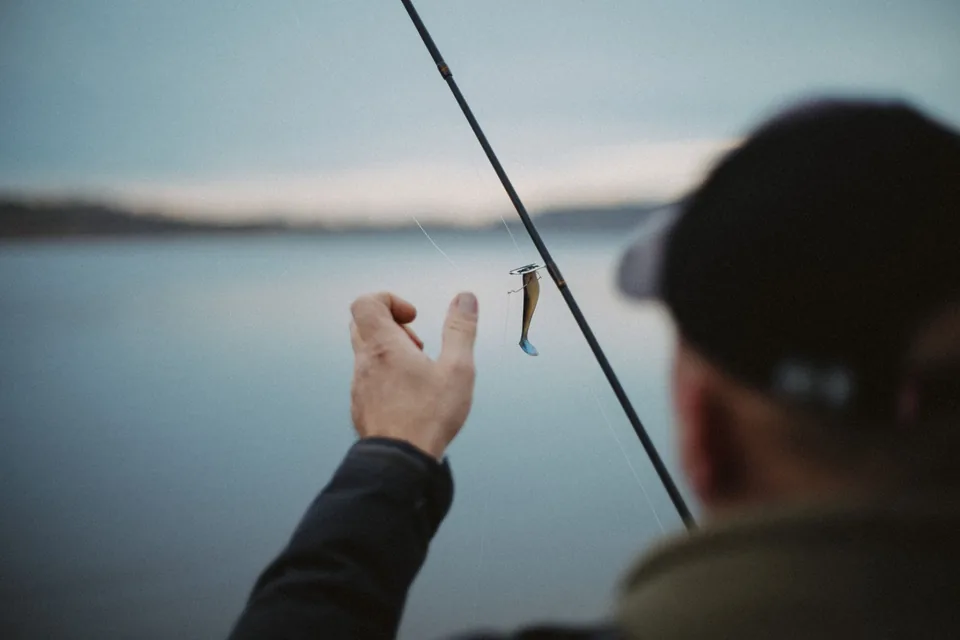
Depth is a path, not a label
A package may describe a running depth, but the lure does not travel through a fixed horizontal band. It descends, reaches a working path, rises toward the rod and changes again when it meets current, cover or a pause. The useful depth is the part of that path that intersects the structure you meant to sample.
Treat every depth claim as a starting estimate. Line diameter, cast length, buoyancy, weight, retrieve speed and rod-tip height all alter the path. The bank adds another variable: a lure retrieved uphill from deep water behaves differently from the same lure pulled parallel to a contour.
Three angles ask three questions
A retrieve parallel to a bank or weed edge keeps the lure beside one depth transition for longer. A perpendicular retrieve crosses several depth bands quickly. A diagonal retrieve trades some coverage for more time near the break. These are not rankings; they are different questions asked of the same structure.
In current, angle also changes pressure. A lure cast across flow may accelerate and rise as line bows downstream. A cast slightly upstream can create more time to sink, but can also introduce slack. Observe the line as part of the system rather than reading lure depth only from rod-tip sensation.
Control one variable at a time
Choose one repeatable cast and mark a reference: first bottom contact, first vegetation touch, or the moment the lure clears an edge. Repeat the route with a small change in rod height or retrieve speed. If the contact point moves, the presentation path moved. That observation is more useful than assuming the lure followed its catalogue depth.
When comparing angles, keep lure, line and approximate speed stable. Natural wind and imperfect casts prevent laboratory control, but a deliberate sequence still separates cause better than changing lure, colour, speed and direction together. Record what the pass sampled, not what you hoped was there.
End with a smaller map
After several passes, redraw the structure using only observed contact, line behaviour and visible contour. You may discover that the effective zone is shorter or more angled than the shoreline suggested. That is progress: an oversized idea of the spot has become a smaller route that can be sampled clearly.
Do not force contact through unsafe footing, protected habitat or excessive snag risk. The method serves a decision; it does not override access, fish welfare or local rules. When the conditions change, treat the previous map as a note from another moment rather than a permanent truth.