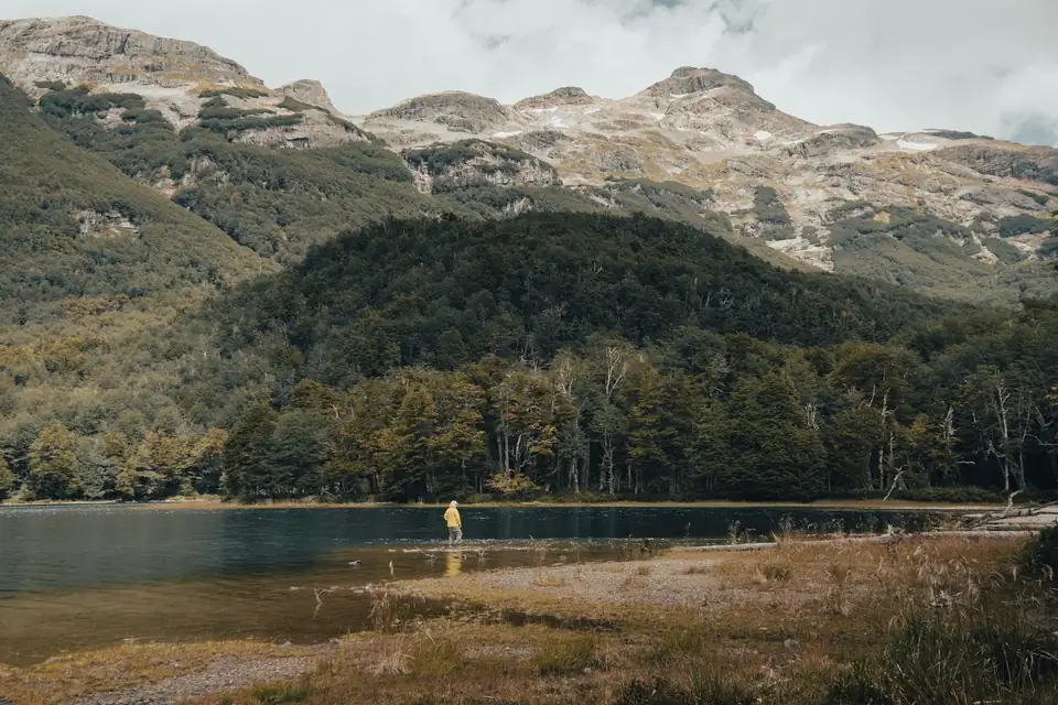
Field image · source recorded05:20 · Freshwater · Moving riverBegin with moving waterCurrent makes the first map. Read its speed changes, edges and depth before choosing the object that will cross them.Compare surface speedTrace soft edgesLet the first cast test the mapRead Field Note →
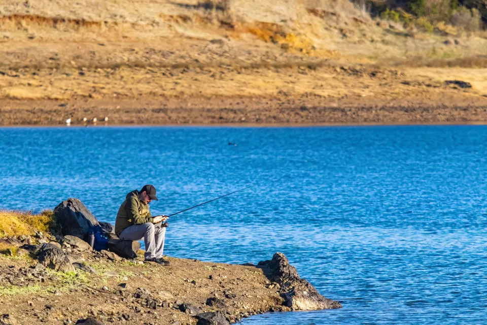
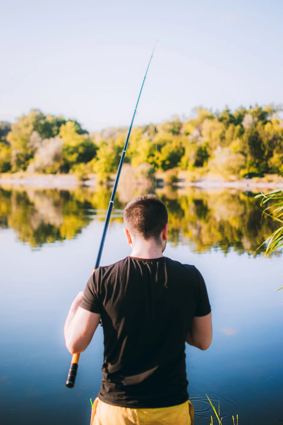
Field image · source recorded08:30 · Freshwater · Lake and reservoirTurn structure into a mapOpen water becomes legible when depth breaks, cover, wind and retrieve angle are treated as connected variables.Mark the first depth breakChoose a useful retrieve angleChange depth before decorationRead Field Note →
Reservoir wind · 11 min readWind gives a reservoir directionHow wind changes surface movement, boat or bank position and the order in which open freshwater can be searched.
Freshwater current · 11 min readA shallow flat is not one speedA method for separating a visually uniform shallow flat into lanes, friction zones and testable presentation paths.
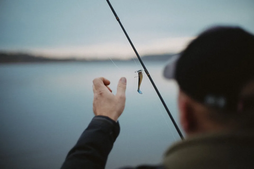
Freshwater lure · 8 min readRetrieve angle changes effective depthWhy cast direction, rod position, line pressure and bank geometry can move the same lure through different water.
Reading Water · 7 min readA Seam Is a Moving Boundary: Read the Water, Then Make the Cast CountSmooth patches, broken water and drifting foam can help you narrow the search. The next step is to connect those clues with current, depth and cover—and send a lure through the water you actually mean to fish.
Lure systems · 9 min readStructure before lureA search order built from structure, depth, wind and retrieve angle before lure colour or novelty.